01
OpenStreetMap Mapping
Create and improve OpenStreetMap data for real-world mapping needs.
Map today. Impact tomorrow. A practical geospatial mapping challenge using open-source GIS tools for sustainable and resilient communities.
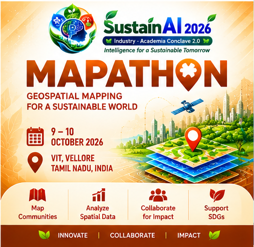
A geospatial mapping challenge focused on practical open-source GIS workflows for sustainable planning, environmental intelligence and resilient communities.
Create and improve OpenStreetMap data for real-world mapping needs.
Map land use and land cover to support planning and environmental analysis.
Create building footprint information for spatial applications.
Map and analyse road networks using open geospatial tools.
Develop spatial layers for environmental monitoring and decision support.
Map water resources for planning and sustainable management.
Use GIS mapping to support disaster preparedness and management.
Map useful places and services as structured spatial information.
8 October 2026
4 September 2026 to 6 October 2026
4 members per team
Any Open Source GIS tools
VIT Campus, Vellore – 632014
Register for Mapathon at VIT, Vellore. Registration fee: Internal ₹300; External ₹500.
Register via VIT Events