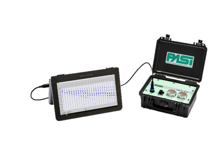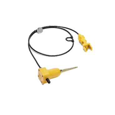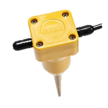


Ultrasonic Pulse Velocity (UPV)
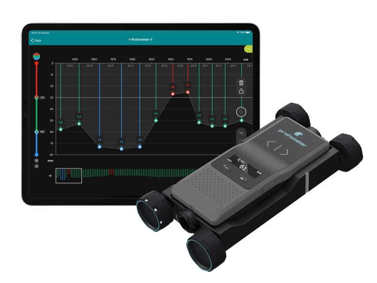
Profometer-Rebar locator PM8000
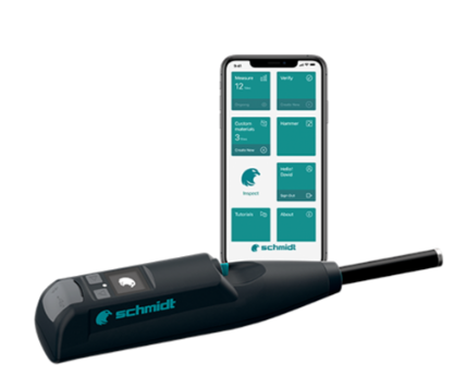
Digital Rebound Hammer for Rock & Concrete
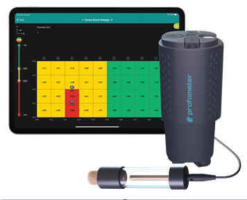
Profometer-Corrosion PM8500
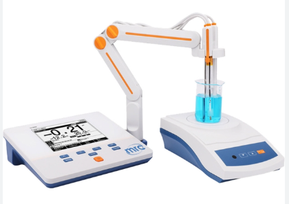
pH meter
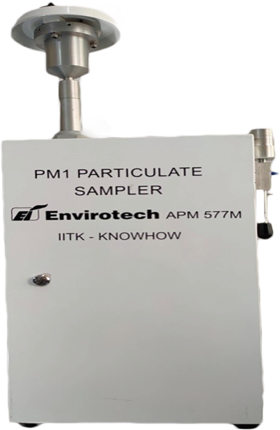
PM1 Particulate Sampler
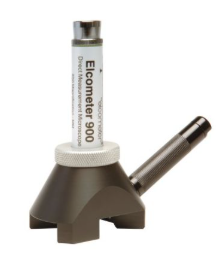
Elcometer
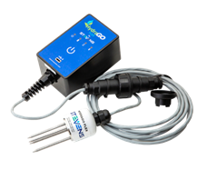
Hydra Probe - Soil Sensor
GIS lab – GIS and image processing open source software
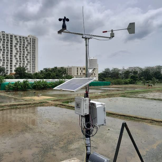
Automatic Weather Station (AWS)
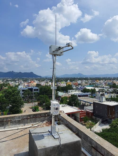
Ultrasonic Anemometer
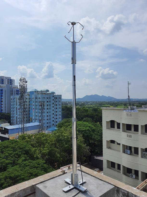
Laser Precipitation Monitoring